
Presently, remote sensing datasets available from various earth orbiting satellites are being used extensively in various domains including in earth sciences, town and country planning, civil engineering, water resources, transportation engineering, navigation and regional planning. This course represents an introduction to data processing techniques from passive/active remote sensing sources with the purpose of information extraction.
 Loading
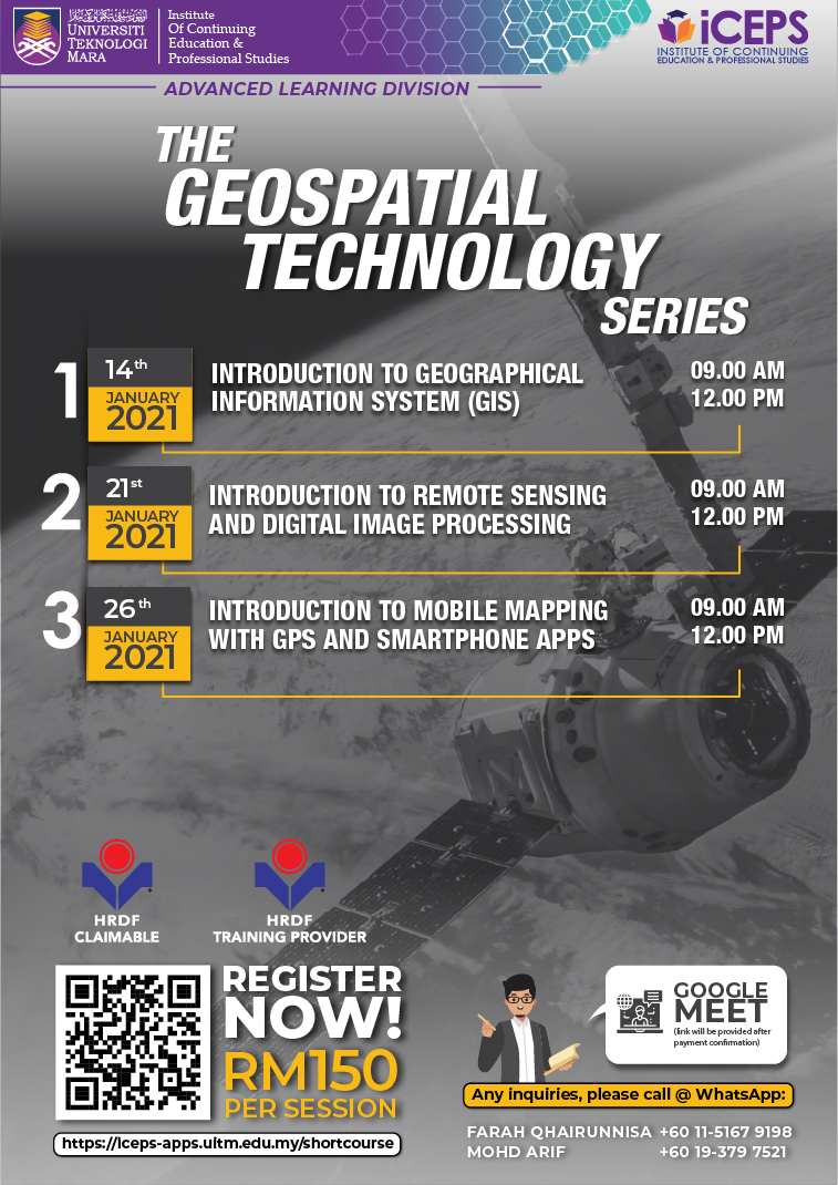
INTRODUCTION TO REMOTE SENSING AND DIGITAL IMAGE PROCESSING
ICT
INTRODUCTION TO REMOTE SENSING AND DIGITAL IMAGE PROCESSING
ICT
Registration Closed
Please be informed
Online Training via Google Meet. Link will be provided after payment comfirmation. Disclaimer: The class will be conducted if the number of participants reaches a minimum of 20 people
| 21/01/2021 Tentative is available below. | |
| Online Course |
For any inquries, please contact :-
FARAH QHAIRUNNISA MOHD YAZID
| 01151679198 | |
| farah384@uitm.edu.my |
MOHD ARIF MANSOR
| 0193797521 | |
| mohdarif@uitm.edu.my |
Description
Objective
The aim of the course is to provide further understanding of remote sensing fundamentals and hands-on training on important image processing and information extraction techniques.
Who Should Attend?
OPEN TO ALL INTERESTED PARTICIPANTS
Outline
• Introduction to remote sensing data acquisition concept
• Remote sensing sensor and technology development
• Interactions of EMR with atmosphere and the earth’s surface
Tentative
NOT AVAILABLE